Free map quiz
Learn the provinces of Papua New Guinea on a map
Practice finding the 20 provinces of Papua New Guinea on an interactive map. Each prompt names a place; tap it on the map and see the answer before the next one.
Start the quizFree to start as a guest. No account needed.
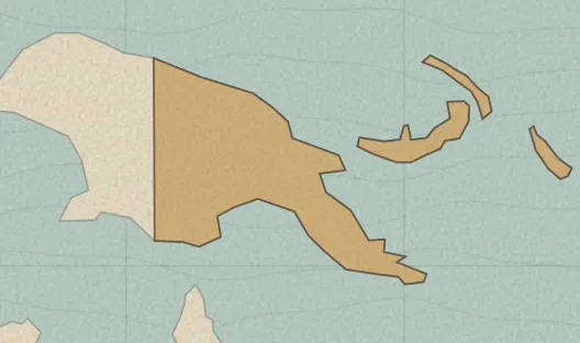
The 20 provinces in this quiz
- Central
- Chimbu
- East New Britain
- East Sepik
- Eastern Highlands
- Enga
- Gulf
- Madang
- Manus
- Milne Bay
- Morobe
- National Capital District
- New Ireland
- North Solomons
- Northern
- Sandaun
- Southern Highlands
- West New Britain
- Western
- Western Highlands
A useful way to practice
Start with the places on the coast or the border, then fill in the interior. A first full run shows which neighbors you mix up; a later unaided run is the one that moves your review progress.
Boundaries and names come from Natural Earth, a public-domain map dataset, so some names use local spellings and recent boundary changes may not appear yet.
Put the map to work in history
Once a place feels familiar, use it in a Terra Tempus history round: read a clue about a real, sourced event, place it on the map, then set it in time.
Try today’s history challenge →