Free map quiz
Learn the countries of North America on a map
Practice finding the 18 countries of North America on an interactive map. Each prompt names a country; tap it on the map and see the answer before the next one.
Start the quizFree to start as a guest. No account needed.
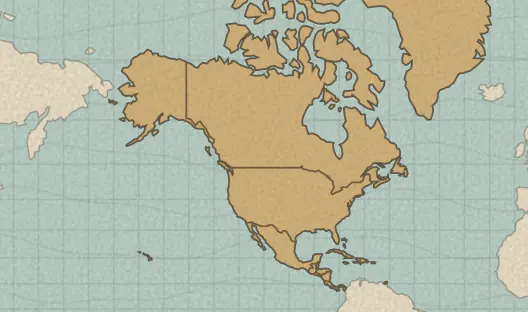
The 18 countries in this quiz
- Belize · Belmopan
- Canada · Ottawa
- Costa Rica · San José
- Cuba · Havana
- Dominican Republic · Santo Domingo
- El Salvador · San Salvador
- Greenland
- Guatemala · Guatemala City
- Haiti · Port-au-Prince
- Honduras · Tegucigalpa
- Jamaica · Kingston
- Mexico · Monterrey
- Nicaragua · Managua
- Panama · Panama City
- Puerto Rico
- The Bahamas · Nassau
- Trinidad and Tobago · Port-of-Spain
- United States of America · Denver
Each country is listed with its capital.
A useful way to practice
Anchor yourself with the coastlines and a few countries you already know, then work outward. After a miss, compare the correct outline with the place you chose before moving on.
Country outlines come from Natural Earth, a public-domain map dataset. The pack uses its country set, so some very small states and territories are not included.
Put the map to work in history
Once a place feels familiar, use it in a Terra Tempus history round: read a clue about a real, sourced event, place it on the map, then set it in time.
Try today’s history challenge →